




PhotoMap Gallery

Description of PhotoMap Gallery
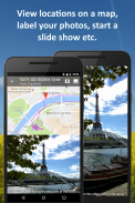
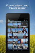
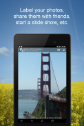
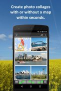
PhotoMap is an application designed for Android users that allows individuals to view and manage their photos, videos, and location history in an engaging manner. It serves as a digital gallery that not only showcases visual content but also integrates location data to enhance the user experience. PhotoMap facilitates a unique way to document experiences and memories by mapping out where photos and videos were taken.
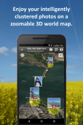
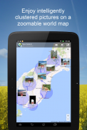
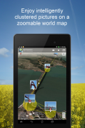
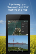
Users can explore their location history through an interactive world map, which displays the places they have visited and the specific locations where their media was captured. This feature enables individuals to relive their travels and special moments by visually navigating their past experiences. With the ability to view photos and videos in relation to geographical locations, users gain a deeper understanding of their journeys.
The application offers a fast search function, allowing users to quickly locate their media by date, place, diary entries, trips, or folders. This efficiency can be particularly beneficial for those who have accumulated a large number of photos and videos over time. By streamlining the search process, PhotoMap ensures that users can easily access their cherished memories without unnecessary delays.
An integrated diary feature is available, enabling users to record their experiences and thoughts alongside their visual content. This aspect encourages individuals to document not only what they saw but also how they felt during those moments. By combining written reflections with visual memories, users create a more comprehensive narrative of their experiences.
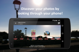
PhotoMap also incorporates augmented reality (AR) technology, which allows users to find the locations of their photos in an extraordinary way. This feature enhances the exploration of past locations by providing a modern and interactive method of viewing them. Users can engage with their memories through a blend of real-world and digital experiences, making the app more dynamic.
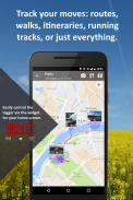
The app includes a geologger that tracks users' location history, allowing them to see where they have been over time. This feature can be particularly useful for those who want to keep a record of their travels without manually documenting each location. The geologger operates seamlessly in the background, capturing location data that can be revisited later.
PhotoMap supports cloud integration, enabling users to access their photos and videos stored in services such as Microsoft OneDrive or Dropbox. This functionality provides a convenient way to manage media files, ensuring that users can retrieve their content from multiple devices. The ability to connect with cloud services enhances the app's usability, as it allows for greater flexibility in accessing and sharing media.
For users with network drives, PhotoMap offers connectivity via CIFS/SMB or FTP/FTPS. This option allows individuals to link their network drives directly to the app, facilitating easy access to additional media files. By integrating with various storage solutions, users can streamline their media management process and keep their content organized.
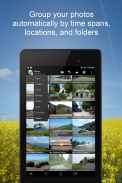
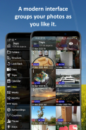
A calendar view allows users to visualize their photos chronologically. This feature presents a clear layout of photo collections by date, making it easier to reminisce about specific events or trips. Users can navigate through their media based on time, providing a structured approach to viewing their experiences.
Geotagging capabilities are included, allowing users to add GPS coordinates to their photos. This feature enables individuals to modify the location of their photos through a simple drag-and-drop interface. By geotagging images, users can enhance the context of their visual content, making it easier to remember where each photo was taken.
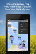
Additionally, PhotoMap supports the import of GPX files from external geo trackers. Users can easily bring in location data from other devices, enriching their location history. The app also offers the ability to export location history in GPX or KML format, providing users with flexibility in how they manage and share their location information.
For those who have not yet enabled location data in their camera settings, PhotoMap provides guidance on activating this option. This step ensures that users can take full advantage of the app's features by capturing location-specific media from the outset.
PhotoMap stands out as a tool for individuals looking to document their lives through a combination of photos, videos, and location history. With its various features tailored for managing and exploring media, the app caters to a wide range of users, whether they are travelers, sports enthusiasts, or professionals documenting their journeys. The integration of location data and diary entries creates a unique opportunity for users to engage with their memories on a deeper level.
For further information about using PhotoMap, you can visit the blog at http://photosonandroid.org/.


